The Earth:
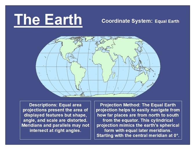
This
image is a map of the world. While the shape, angle, and scale are distorted,
it displays the world in a two-dimensional projection.
United
States Capital Cities: 1990 Population
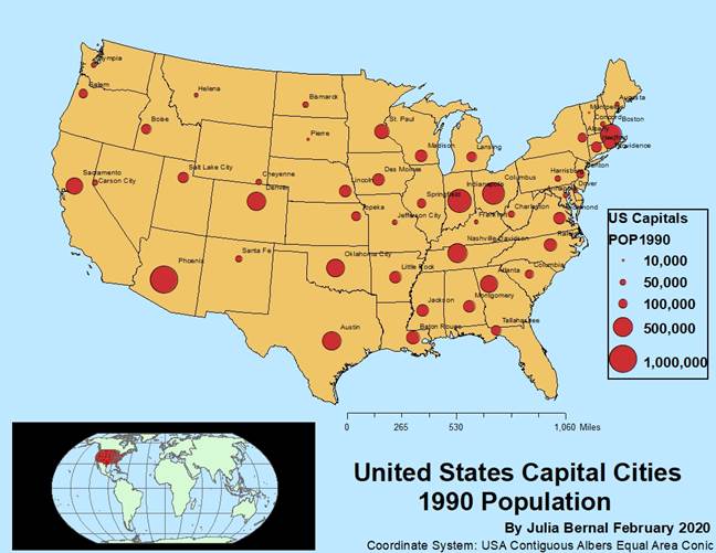
This
map displays the United States and their capital cities by the 1990
populations. The coordinate system is the USA Contiguous Albers Equal Area
Conic minus Alaska and Hawaii.
New
Mexico:
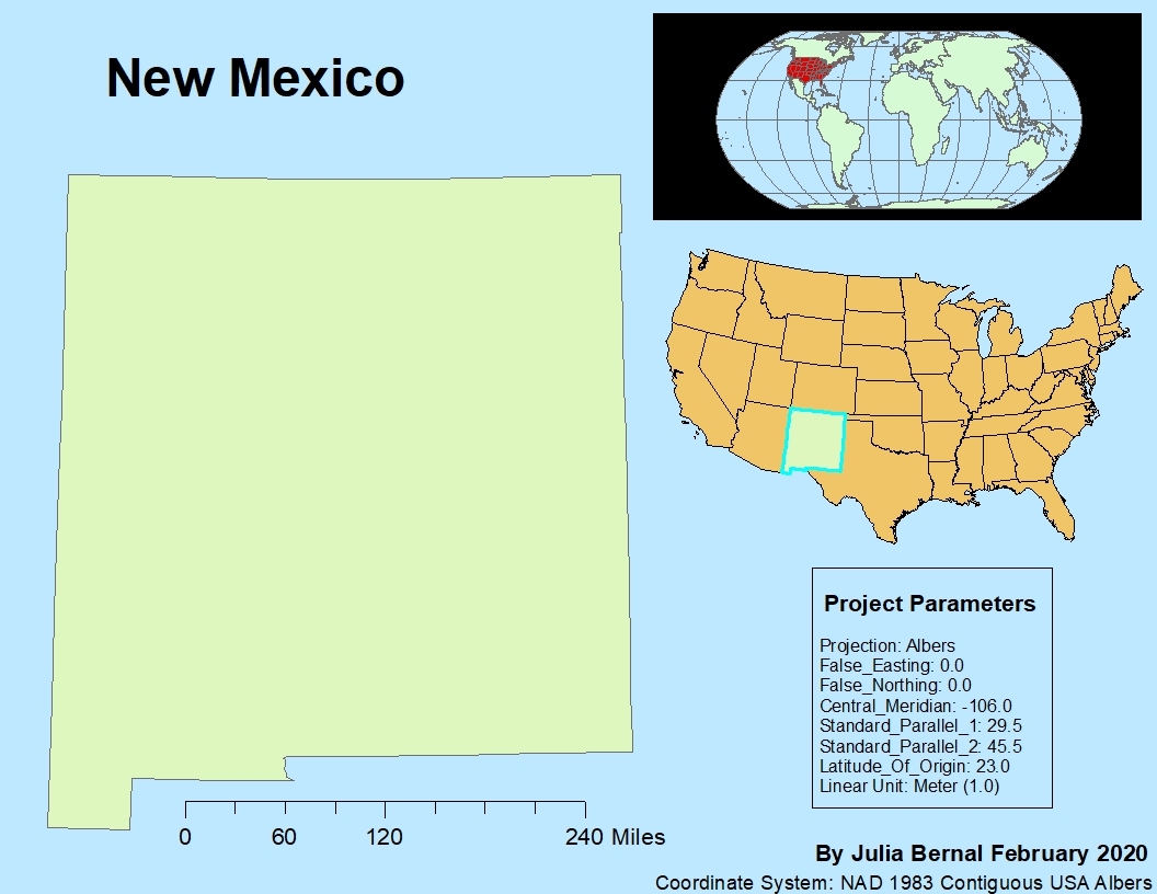
This
is a map of New Mexico in NAD 1983 Contiguous USA Albers. The central meridian
was changed from -96 to -106 so it will ordinate north correctly.